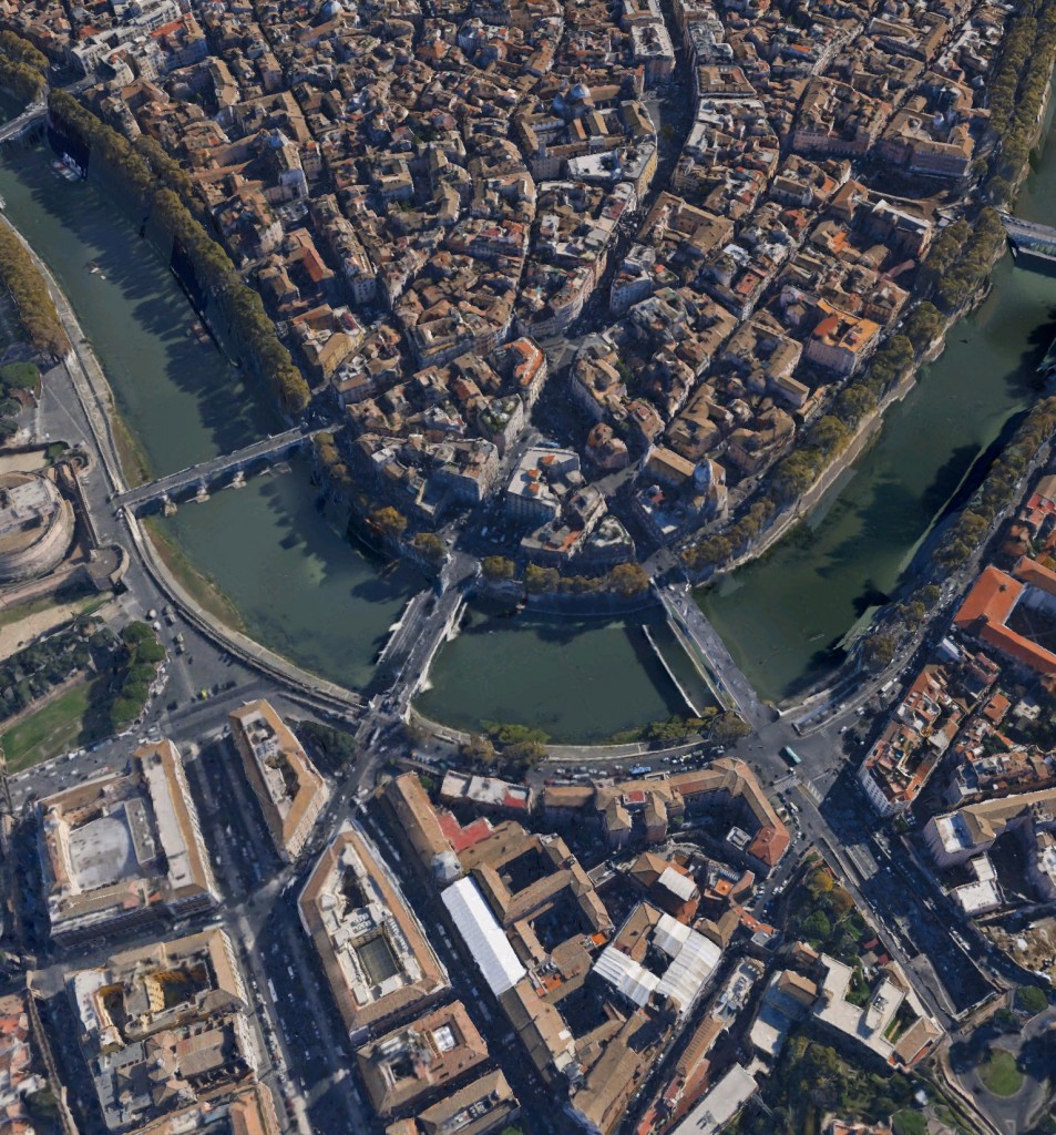
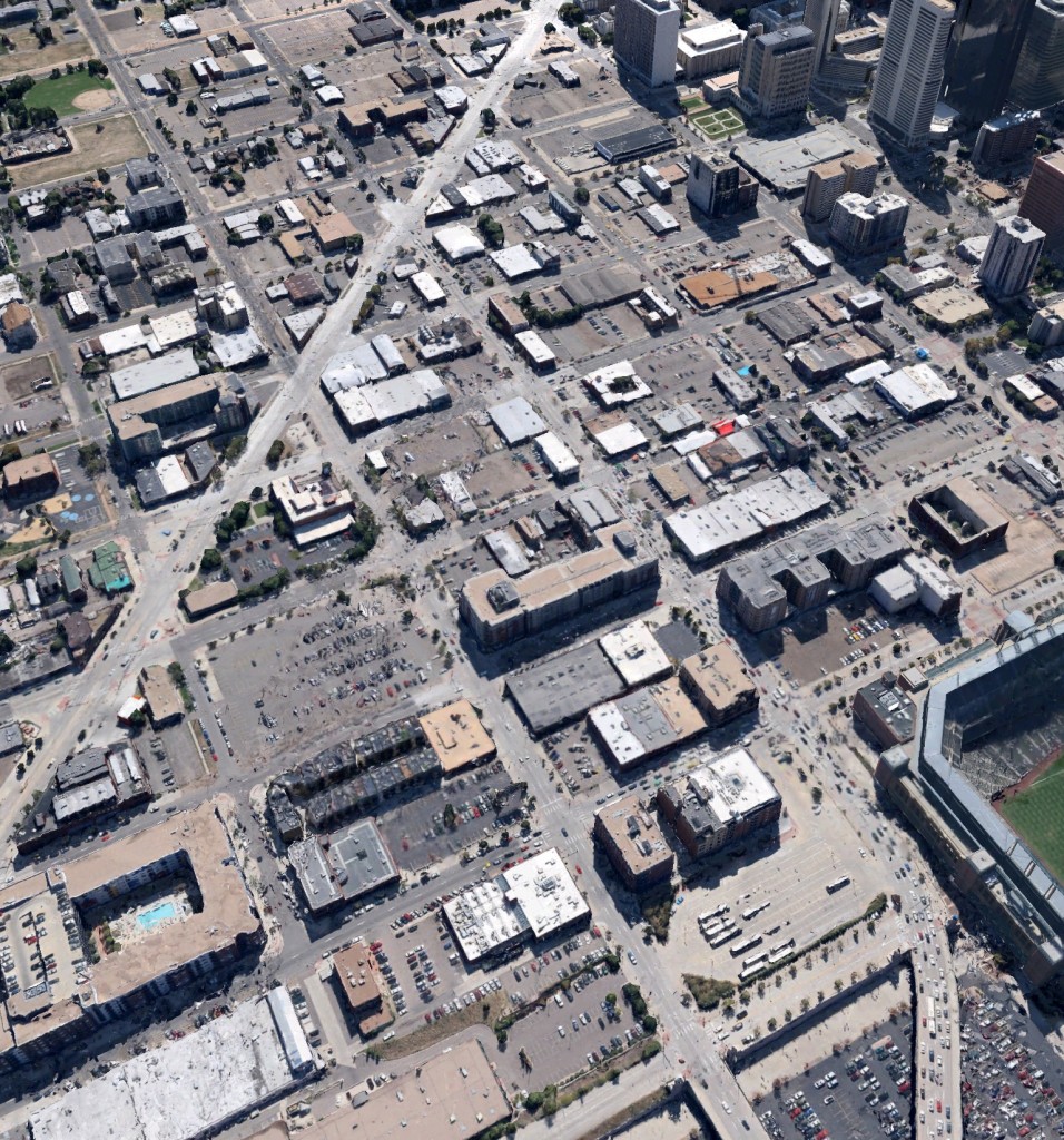
As a brief follow-up to two unrelated posts – my comments on car parking controls, and my discussion of the merits of Google Earth’s 3D views for conceptualising the city form – I thought it might be interesting to post two Google Earth images of very different cities: Rome and Denver.
Though there are all sorts of causes for the differences in these cities, we should still keep in mind what sort of urban form we want when framing our planning controls, and think about how high up our list of priorities “adequate parking” should be.

